


20230416 St Martin du Vivier

Childebert
User
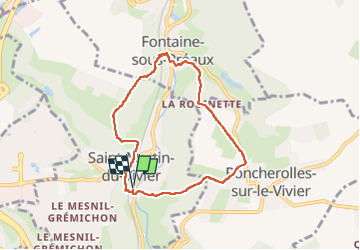

Length
6.4 km

Max alt
158 m

Uphill gradient
217 m
Km-Effort
9.3 km

Min alt
51 m

Downhill gradient
217 m
Boucle
Yes
Creation date :
2023-04-16 11:52:59.843
Updated on :
2023-04-16 14:24:50.016
2h31
Difficulty : Medium

FREE GPS app for hiking
 SityTrail
IGN / Geographical institutes
SityTrail Plus
The world is yours!
About
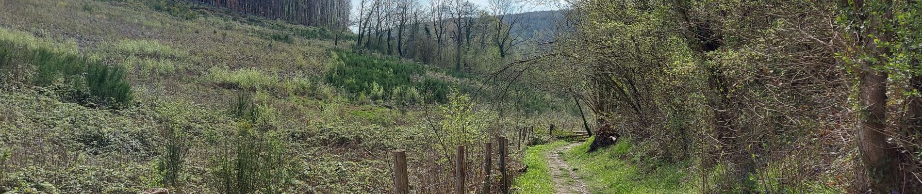
Trail Walking of 6.4 km to be discovered at Normandy, Seine-Maritime, Saint-Martin-du-Vivier. This trail is proposed by Childebert.
Photos

Positioning
Country:
France
Region :
Normandy
Department/Province :
Seine-Maritime
Municipality :
Saint-Martin-du-Vivier
Location:
Unknown
Start:(Dec)
Start:(UTM)
366737 ; 5480972 (31U) N.
Comments