


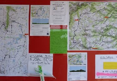
14.3 km | 20 km-effort

User


FREE GPS app for hiking
 SityTrail
IGN / Geographical institutes
SityTrail World
The world is yours!
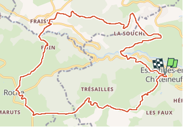
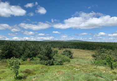
Trail Walking of 15.8 km to be discovered at Auvergne-Rhône-Alpes, Loire, Essertines-en-Châtelneuf. This trail is proposed by Migrounet42.
départ église du village Essertine en Chatelneuf direction Roche en Forez.


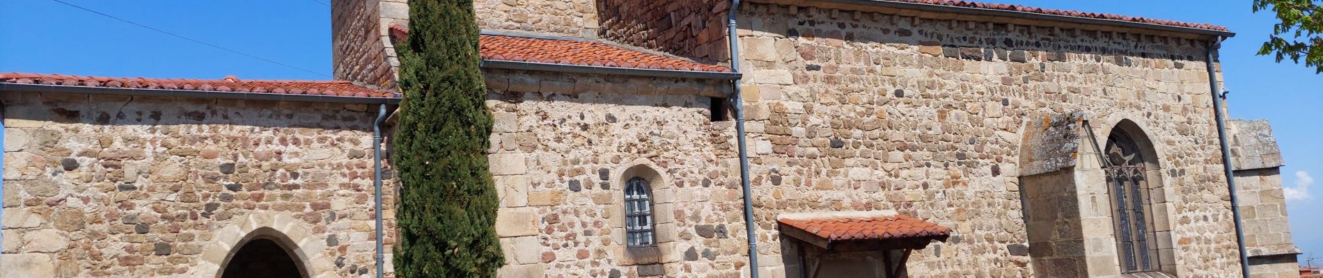
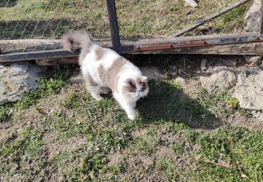
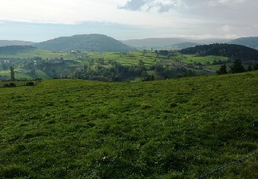
24 photos in total. Please click on a photo to see them all in the gallery.
Walking
Mountain bike
Mountain bike
Mountain bike


sport

Walking
Walking
Walking
Walking