Trail Road bike Rousset - Tour de Sainte Victoire par D7 D+943m - Photo

Tour de Sainte Victoire par D7 D+943m

© OpenStreetMap contributors
Length
Length
60 km
Max alt
Max alt
636 m
Uphill gradient
Uphill gradient
943 m
Km-Effort
Km-Effort  
72 km
Min alt
Min alt
151 m
Downhill gradient
Downhill gradient
944 m
Boucle
Boucle
Yes
Creation date :
2023-04-22 15:50:31.887
Updated on :
2023-06-05 14:13:18.394

(0 Reviews)

Road bike
Road bike
4h22
Difficulty : Very difficult

Scan this QR Code to open this trail in the SityTrail application

FREE GPS app for hiking

Logo SityTrail SityTrail

IGN / Geographical institutes

Download SityTrail from the App Store Download SityTrail from Google Play

Logo SityTrail SityTrail Plus

The world is yours!

Download SityTrail from the App Store Download SityTrail from Google Play Download SityTrail on Huawei AppGallery

About

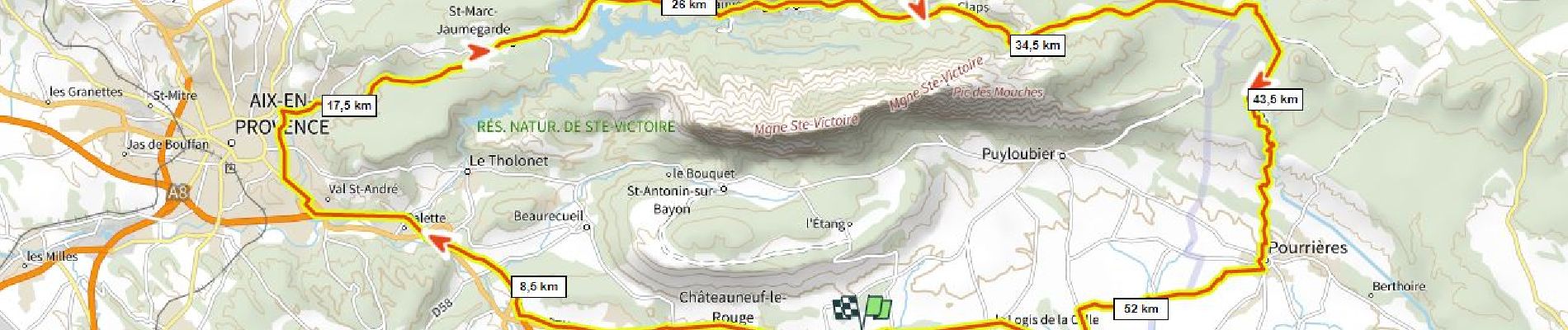
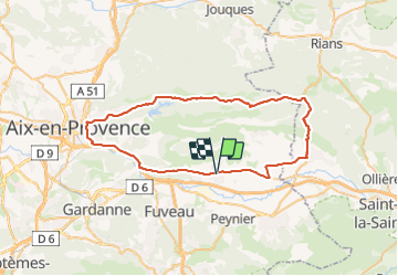
Trail Road bike of 60 km to be discovered at Provence-Alpes-Côte d'Azur, Bouches-du-Rhône, Rousset. This trail is proposed by ericberlin.

Description

Route tranquille de Aix Vauvenargues Pourrieres
Accotement cyclable sur D7 jusqu'au Canet
Tronçon D7 Canet Aix sans piste cyclable fréquenté et dangereux.

Passage par St Antonin et le Tholonet plus tranquille plus joli mais plus sportif.

Elevation profile

Photos

Positioning

Country:
France
Region :
Provence-Alpes-Côte d'Azur
Department/Province :
Bouches-du-Rhône
Municipality :
Rousset
Location:
Unknown
Start:(UTM)
711964 ; 4818359 (31T) N.


Close
My subscriptions