


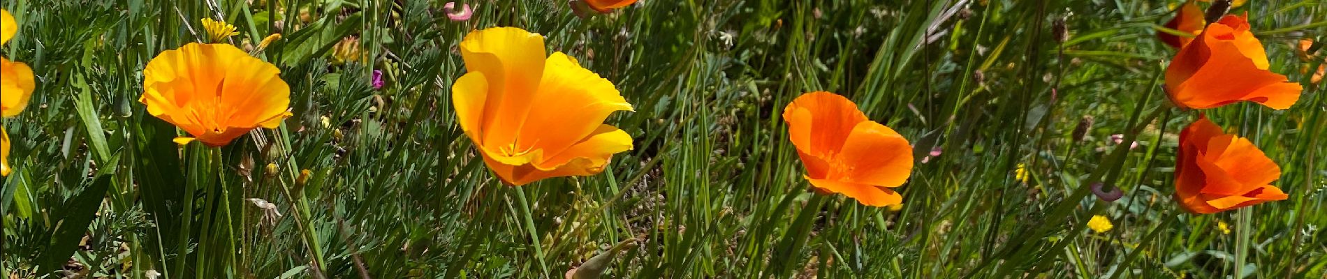
Fabras Jaujac les orgues basaltiques

Roger Philippe Wallez
User GUIDE
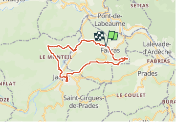

Length
14.9 km

Max alt
605 m

Uphill gradient
564 m
Km-Effort
22 km

Min alt
324 m

Downhill gradient
570 m
Boucle
Yes
Creation date :
2023-04-16 08:00:32.0
Updated on :
2023-04-23 06:29:33.952
5h17
Difficulty : Very difficult

FREE GPS app for hiking
 SityTrail
IGN / Geographical institutes
SityTrail Plus
The world is yours!
About
Trail Walking of 14.9 km to be discovered at Auvergne-Rhône-Alpes, Ardèche, Fabras. This trail is proposed by Roger Philippe Wallez.
Photos


22 photos in total. Please click on a photo to see them all in the gallery.
Positioning
Country:
France
Region :
Auvergne-Rhône-Alpes
Department/Province :
Ardèche
Municipality :
Fabras
Location:
Unknown
Start:(Dec)
Start:(UTM)
602036 ; 4945048 (31T) N.
Comments