


pollionay col de la croix du ban

maclobar
User
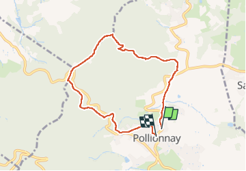

Length
7.5 km

Max alt
642 m

Uphill gradient
262 m
Km-Effort
11 km

Min alt
396 m

Downhill gradient
261 m
Boucle
Yes
Creation date :
2023-04-10 11:39:33.826
Updated on :
2023-04-23 13:51:08.559
1h48
Difficulty : Medium

FREE GPS app for hiking
 SityTrail
IGN / Geographical institutes
SityTrail Plus
The world is yours!
About
Trail Walking of 7.5 km to be discovered at Auvergne-Rhône-Alpes, Rhône, Pollionnay. This trail is proposed by maclobar.
Description
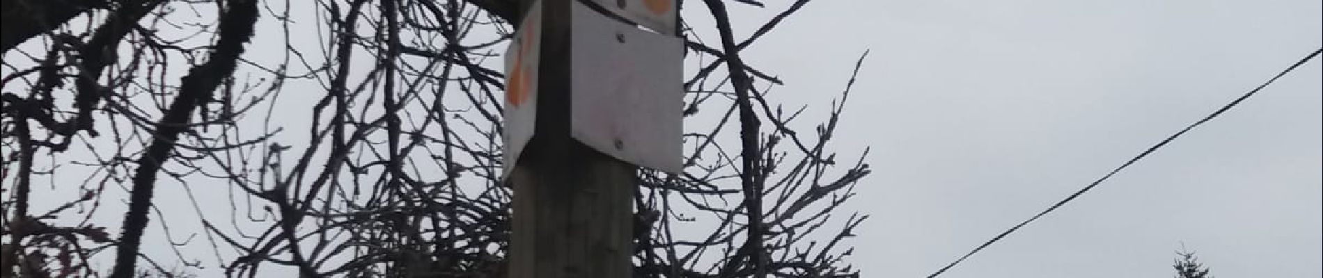
parcours dans les bois. balisage bien indiqué.
Photos


Positioning
Country:
France
Region :
Auvergne-Rhône-Alpes
Department/Province :
Rhône
Municipality :
Pollionnay
Location:
Unknown
Start:(Dec)
Start:(UTM)
629232 ; 5069550 (31T) N.
Comments