


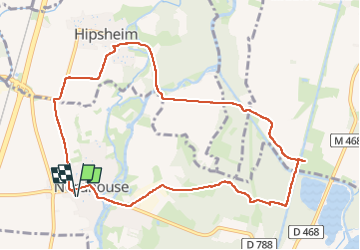

35 km | 38 km-effort

User


FREE GPS app for hiking
 SityTrail
IGN / Geographical institutes
SityTrail World
The world is yours!
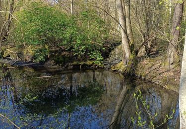
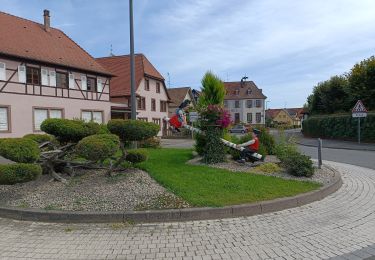
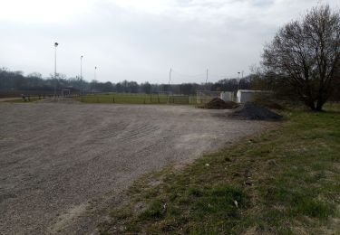
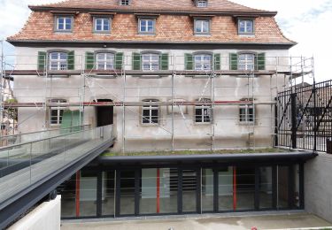
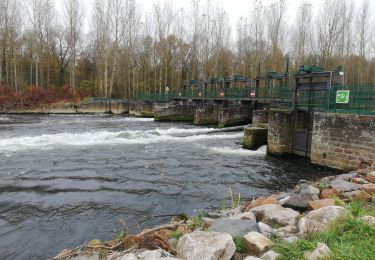
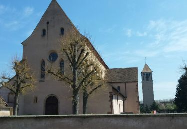
Trail Walking of 10 km to be discovered at Grand Est, Bas-Rhin, Nordhouse. This trail is proposed by Mich&Agnès.


Mountain bike
Walking
Walking
Electric bike
Walking
On foot
Walking
Walking

Mountain bike