


balade avec jeff

andrechauvin
User

Length
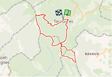
19 km

Max alt
1322 m

Uphill gradient
1207 m
Km-Effort
35 km

Min alt
644 m

Downhill gradient
1208 m
Boucle
Yes
Creation date :
2023-04-25 07:12:12.271
Updated on :
2023-04-25 18:08:45.989
9h10
Difficulty : Difficult

FREE GPS app for hiking
 SityTrail
IGN / Geographical institutes
SityTrail Plus
The world is yours!
About
Trail Walking of 19 km to be discovered at Auvergne-Rhône-Alpes, Drôme, Teyssières. This trail is proposed by andrechauvin.
Description
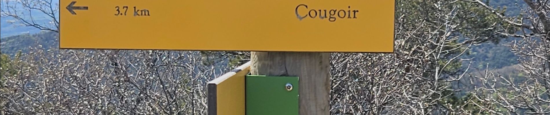
la lance et le cougoir
Photos


Positioning
Country:
France
Region :
Auvergne-Rhône-Alpes
Department/Province :
Drôme
Municipality :
Teyssières
Location:
Unknown
Start:(Dec)
Start:(UTM)
669627 ; 4924194 (31T) N.
Comments