


la chartreuse de la Verne par les vasques de Boulin

chrifor
User
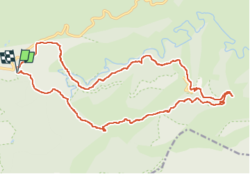

Length
13.4 km

Max alt
518 m

Uphill gradient
478 m
Km-Effort
19.8 km

Min alt
239 m

Downhill gradient
481 m
Boucle
Yes
Creation date :
2023-04-27 08:22:56.87
Updated on :
2023-04-27 15:56:41.711
4h36
Difficulty : Difficult

FREE GPS app for hiking
 SityTrail
IGN / Geographical institutes
SityTrail Plus
The world is yours!
About
Trail Walking of 13.4 km to be discovered at Provence-Alpes-Côte d'Azur, Var, Collobrières. This trail is proposed by chrifor.
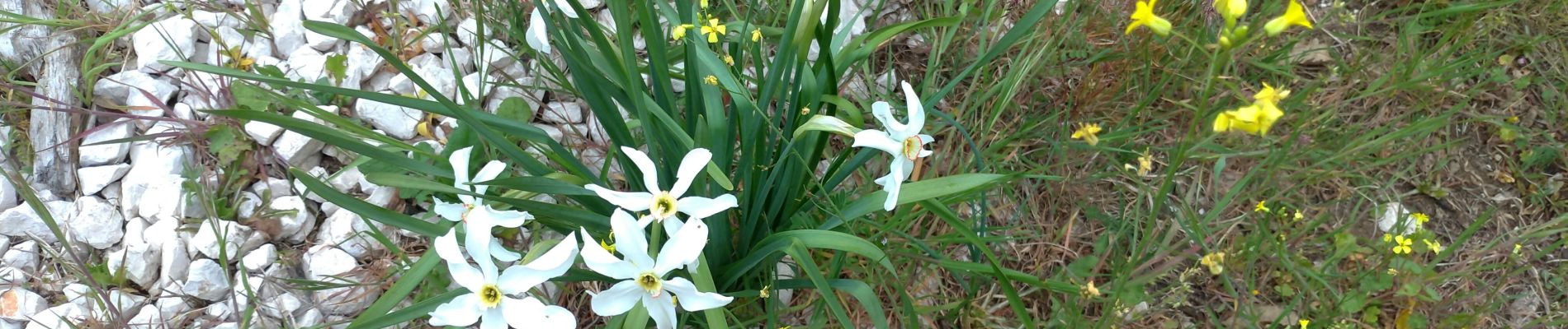
Photos


Positioning
Country:
France
Region :
Provence-Alpes-Côte d'Azur
Department/Province :
Var
Municipality :
Collobrières
Location:
Unknown
Start:(Dec)
Start:(UTM)
285339 ; 4790649 (32T) N.
Comments