


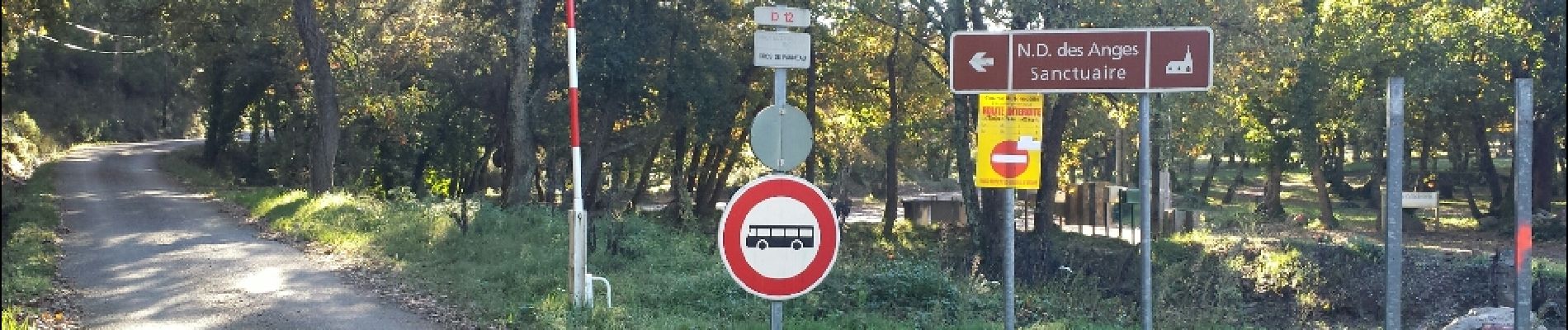
Notre Dame des Anges.

Sugg
User
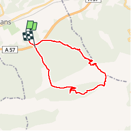

Length
16.3 km

Max alt
777 m

Uphill gradient
623 m
Km-Effort
25 km

Min alt
184 m

Downhill gradient
605 m
Boucle
No
Creation date :
2019-03-22 16:59:53.924
Updated on :
2019-03-22 16:59:54.11
5h13
Difficulty : Medium

FREE GPS app for hiking
 SityTrail
IGN / Geographical institutes
SityTrail Plus
The world is yours!
About
Trail Walking of 16.3 km to be discovered at Provence-Alpes-Côte d'Azur, Var, Pignans. This trail is proposed by Sugg.
Description
Rando RF du 19-11-14 avec Pierre.
temps magnifique, pique-nique au sommet, pas de vent, le top.
Photos


Positioning
Country:
France
Region :
Provence-Alpes-Côte d'Azur
Department/Province :
Var
Municipality :
Pignans
Location:
Unknown
Start:(Dec)
Start:(UTM)
276689 ; 4797234 (32T) N.
Comments
28/2/2015. Temps moyen avec beaucoup de passages nuageux. Très beau parcours , petite hésitation au point 3.Merci