


Balade à Panagia (Rother n°45)

Bart2015
User
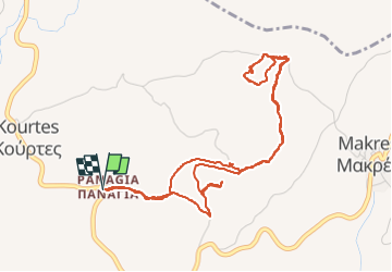

Length
6.7 km

Max alt
540 m

Uphill gradient
211 m
Km-Effort
9.5 km

Min alt
361 m

Downhill gradient
210 m
Boucle
Yes
Creation date :
2023-04-28 08:54:05.124
Updated on :
2023-05-03 18:36:13.673
2h09
Difficulty : Medium

FREE GPS app for hiking
 SityTrail
IGN / Geographical institutes
SityTrail Plus
The world is yours!
About
Trail Walking of 6.7 km to be discovered at Region of Crete, Heraklion Regional Unit, Municipality of Moronion. This trail is proposed by Bart2015.
Description
Balade depuis le village de Panagia et son église pour se promener dans un univers d'oliviers, le plus ancien ayant plus de 3000 ans ...
Bonne rando ...
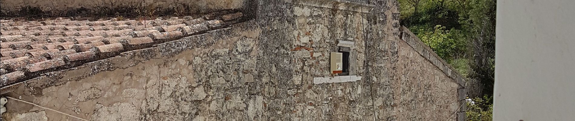
Photos
 - Photo 1")
 - Photo 2")
 - Photo 3")
 - Photo 4")
 - Photo 5")
 - Photo 6")
 - Photo 7")
 - Photo 8")
 - Photo 9")
 - Photo 10")
 - Photo 11")
 - Photo 12")
 - Photo 13")
 - Photo 14")
 - Photo 15")
 - Photo 16")
 - Photo 17")
 - Photo 18")
 - Photo 19")
Positioning
Country:
Greece
Region :
Region of Crete
Department/Province :
Heraklion Regional Unit
Municipality :
Municipality of Moronion
Location:
Unknown
Start:(Dec)
Start:(UTM)
309689 ; 3886817 (35S) N.
Comments