


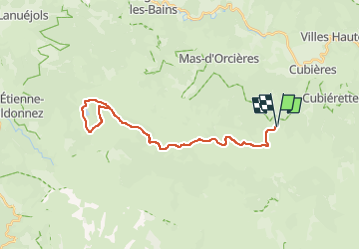

22 km | 32 km-effort

User


FREE GPS app for hiking
 SityTrail
IGN / Geographical institutes
SityTrail World
The world is yours!
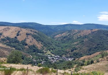
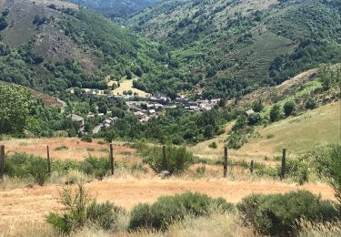
Trail Electric bike of 31 km to be discovered at Occitania, Lozère, Cubières. This trail is proposed by asclier0.
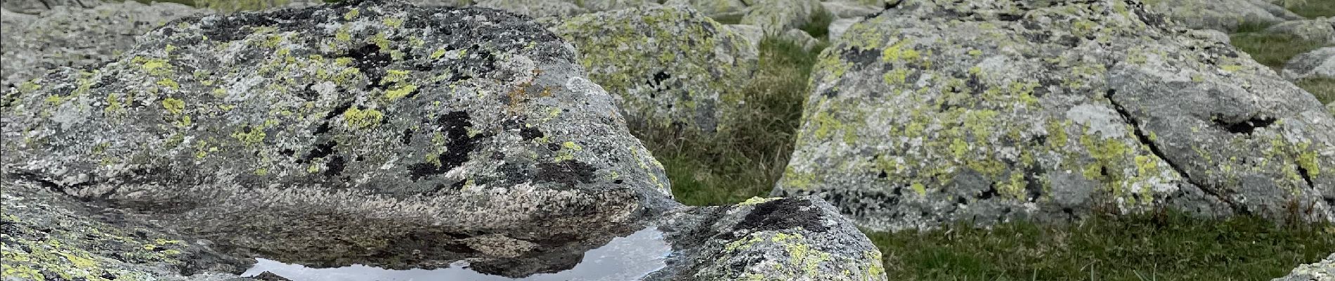
Grands espaces et sous bois. accessible aux familles.
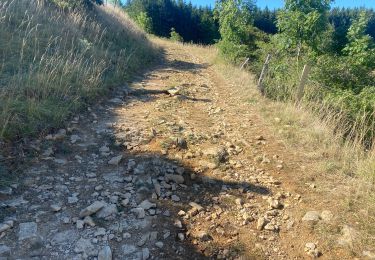
Très roulant dans l'ensemble.
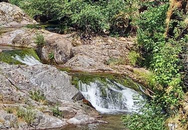
Descente vers l'étang caillouteuse mais courte.
Pour le printemps ou l'automne. L'été, gare aux coups de soleil...
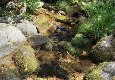
Photos fin avril


Walking

Walking
Walking
Walking

Walking
Walking
Mountain bike
Walking
Walking