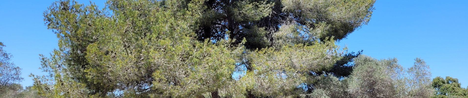
le parc de Figuerolles

amiral13
User GUIDE

Length
9.4 km

Max alt
71 m

Uphill gradient
121 m
Km-Effort
11 km

Min alt
0 m

Downhill gradient
121 m
Boucle
Yes
Creation date :
2023-05-01 09:27:37.416
Updated on :
2023-05-01 12:41:57.786
3h13
Difficulty : Very easy

FREE GPS app for hiking
 SityTrail
IGN / Geographical institutes
SityTrail Plus
The world is yours!
About
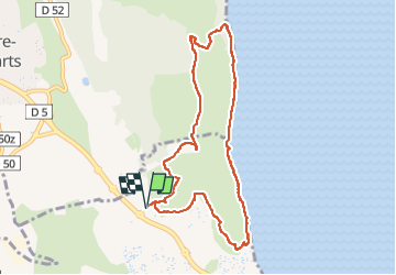
Trail Walking of 9.4 km to be discovered at Provence-Alpes-Côte d'Azur, Bouches-du-Rhône, Martigues. This trail is proposed by amiral13.
Photos


Positioning
Country:
France
Region :
Provence-Alpes-Côte d'Azur
Department/Province :
Bouches-du-Rhône
Municipality :
Martigues
Location:
Unknown
Start:(Dec)
Start:(UTM)
665219 ; 4811143 (31T) N.
Comments