


mesnil-fresnoy le grand-montbrehain -lesdits

alainwald
User
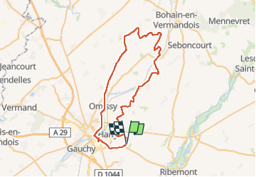

Length
55 km

Max alt
150 m

Uphill gradient
537 m
Km-Effort
62 km

Min alt
72 m

Downhill gradient
536 m
Boucle
Yes
Creation date :
2023-05-01 13:14:51.769
Updated on :
2023-05-01 17:51:00.808
4h35
Difficulty : Easy

FREE GPS app for hiking
 SityTrail
IGN / Geographical institutes
SityTrail Plus
The world is yours!
About
Trail Mountain bike of 55 km to be discovered at Hauts-de-France, Aisne, Mesnil-Saint-Laurent. This trail is proposed by alainwald.
Description
chemins et routes
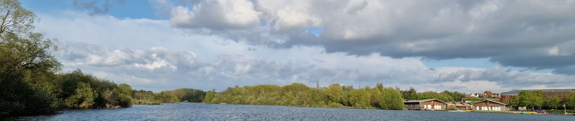
Photos


Positioning
Country:
France
Region :
Hauts-de-France
Department/Province :
Aisne
Municipality :
Mesnil-Saint-Laurent
Location:
Unknown
Start:(Dec)
Start:(UTM)
525829 ; 5519851 (31U) N.
Comments