


Le defi

Lamartiniere
User GUIDE
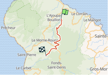

Length
18.2 km

Max alt
619 m

Uphill gradient
800 m
Km-Effort
28 km

Min alt
155 m

Downhill gradient
612 m
Boucle
No
Creation date :
2023-05-01 10:58:07.426
Updated on :
2023-05-01 17:59:41.839
6h00
Difficulty : Very difficult

FREE GPS app for hiking
 SityTrail
IGN / Geographical institutes
SityTrail Plus
The world is yours!
About
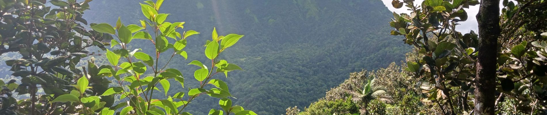
Trail Walking of 18.2 km to be discovered at Martinique, Unknown, Le Lorrain. This trail is proposed by Lamartiniere.
Photos

Positioning
Country:
France
Region :
Martinique
Department/Province :
Unknown
Municipality :
Le Lorrain
Location:
Unknown
Start:(Dec)
Start:(UTM)
704733 ; 1639442 (20P) N.
Comments