


Galère °1 bivouac

GioA10
User


Length
2.8 km

Max alt
1554 m

Uphill gradient
115 m
Km-Effort
4.3 km

Min alt
1437 m

Downhill gradient
111 m
Boucle
Yes
Creation date :
2023-05-02 16:32:15.0
Updated on :
2023-05-03 02:00:44.169
31m
Difficulty : Very difficult

FREE GPS app for hiking
 SityTrail
IGN / Geographical institutes
SityTrail Plus
The world is yours!
About
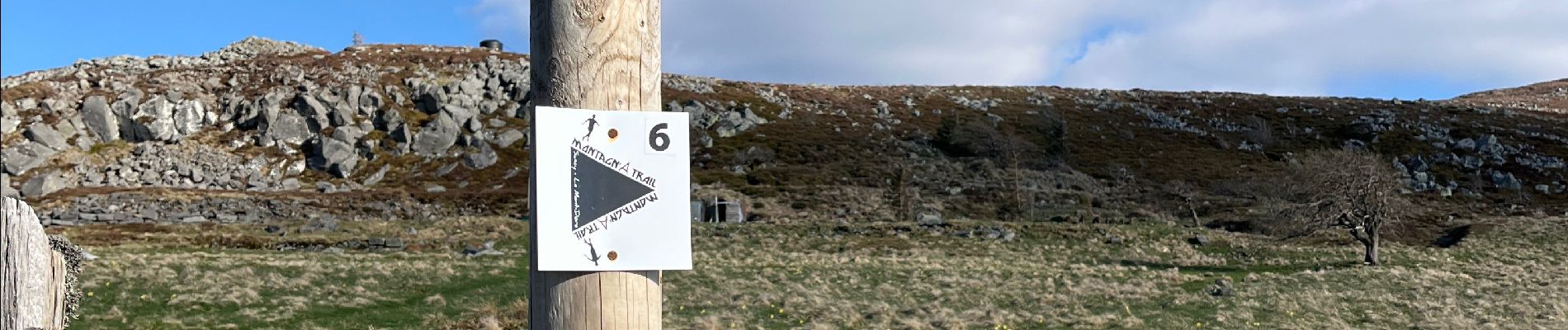
Trail Walking of 2.8 km to be discovered at Auvergne-Rhône-Alpes, Puy-de-Dôme, Mont-Dore. This trail is proposed by GioA10.
Photos


Positioning
Country:
France
Region :
Auvergne-Rhône-Alpes
Department/Province :
Puy-de-Dôme
Municipality :
Mont-Dore
Location:
Unknown
Start:(Dec)
Start:(UTM)
486800 ; 5045578 (31T) N.
Comments