


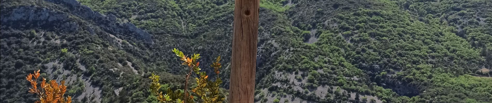
montagne de Bluye

Pascal84
User
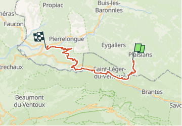

Length
23 km

Max alt
845 m

Uphill gradient
842 m
Km-Effort
34 km

Min alt
280 m

Downhill gradient
1002 m
Boucle
No
Creation date :
2023-05-03 06:53:05.705
Updated on :
2023-05-03 15:52:11.0
8h58
Difficulty : Difficult

FREE GPS app for hiking
 SityTrail
IGN / Geographical institutes
SityTrail Plus
The world is yours!
About
Trail Walking of 23 km to be discovered at Auvergne-Rhône-Alpes, Drôme, Plaisians. This trail is proposed by Pascal84.
Photos


Positioning
Country:
France
Region :
Auvergne-Rhône-Alpes
Department/Province :
Drôme
Municipality :
Plaisians
Location:
Unknown
Start:(Dec)
Start:(UTM)
684305 ; 4899407 (31T) N.
Comments