


Saint Galmier du 04-05-2023

VANDERPUTTENMi
User GUIDE
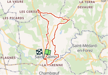

Length
17.1 km

Max alt
546 m

Uphill gradient
426 m
Km-Effort
23 km

Min alt
371 m

Downhill gradient
426 m
Boucle
Yes
Creation date :
2023-05-03 08:16:12.907
Updated on :
2023-05-03 16:45:13.701
4h59
Difficulty : Very difficult

FREE GPS app for hiking
 SityTrail
IGN / Geographical institutes
SityTrail Plus
The world is yours!
About
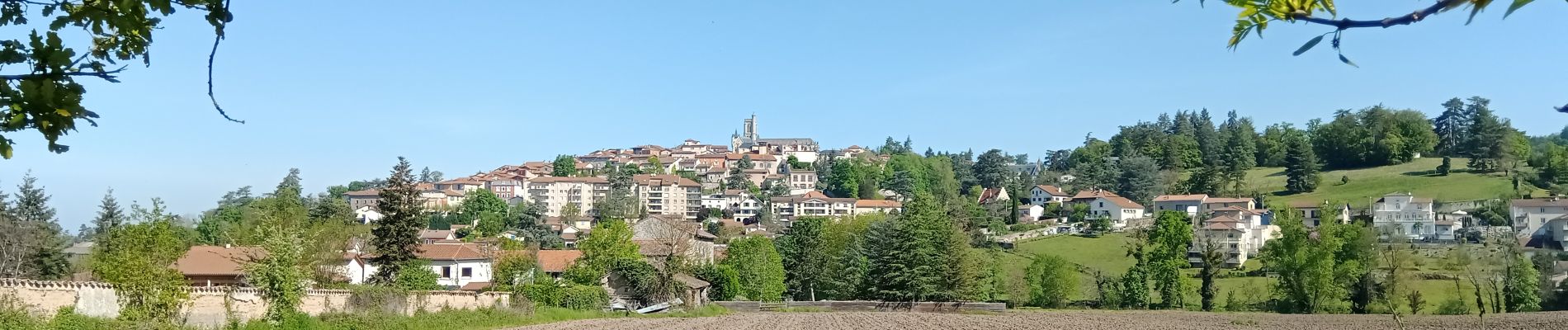
Trail Walking of 17.1 km to be discovered at Auvergne-Rhône-Alpes, Loire, Saint-Galmier. This trail is proposed by VANDERPUTTENMi.
Photos

Positioning
Country:
France
Region :
Auvergne-Rhône-Alpes
Department/Province :
Loire
Municipality :
Saint-Galmier
Location:
Unknown
Start:(Dec)
Start:(UTM)
602534 ; 5049171 (31T) N.
Comments