


276 km | 385 km-effort

User


FREE GPS app for hiking
 SityTrail
IGN / Geographical institutes
SityTrail World
The world is yours!
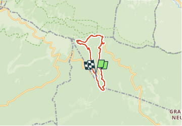
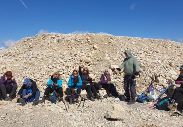
Trail Walking of 9.8 km to be discovered at Provence-Alpes-Côte d'Azur, Vaucluse, Aurel. This trail is proposed by stef789.
d´après le p´tit crapahut - Pays du Ventoux Dentelles de Montmirail


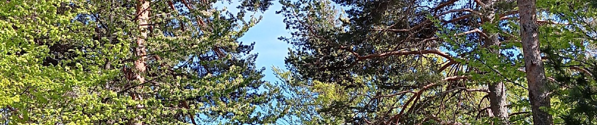
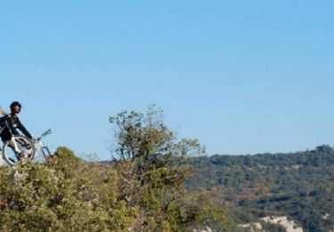
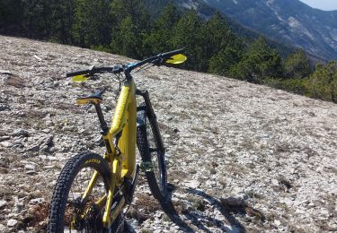
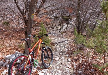
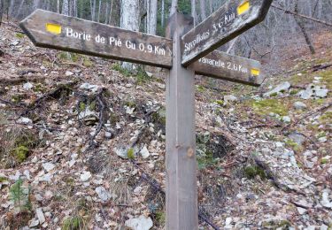
25 photos in total. Please click on a photo to see them all in the gallery.
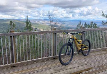
Mountain bike
Mountain bike
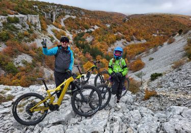
Mountain bike
Mountain bike
Walking
Mountain bike
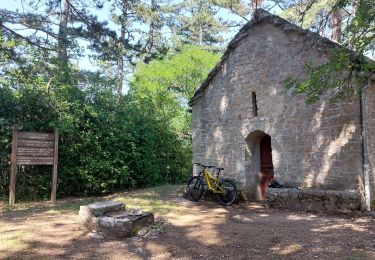
Walking
Mountain bike
Walking