


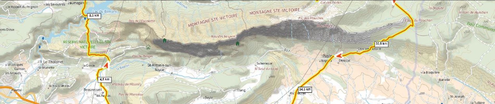
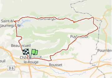
Tour de Sainte Victoire VTT Par Bimont et la Pallière (essai) D+870m

ericberlin
User

Length
44 km

Max alt
636 m

Uphill gradient
868 m
Km-Effort
55 km

Min alt
228 m

Downhill gradient
874 m
Boucle
Yes
Creation date :
2023-05-06 16:48:22.777
Updated on :
2023-05-31 16:08:47.635
3h50
Difficulty : Very difficult

FREE GPS app for hiking
 SityTrail
IGN / Geographical institutes
SityTrail Plus
The world is yours!
About
Trail Mountain bike of 44 km to be discovered at Provence-Alpes-Côte d'Azur, Bouches-du-Rhône, Châteauneuf-le-Rouge. This trail is proposed by ericberlin.
Description
Attention c'est long!
Bars à Vauvenargues et Puyloubier
Variante plus sportive calme et jolie possible par St Antonin
Photos
 D+870m - Photo 1")
Positioning
Country:
France
Region :
Provence-Alpes-Côte d'Azur
Department/Province :
Bouches-du-Rhône
Municipality :
Châteauneuf-le-Rouge
Location:
Unknown
Start:(Dec)
Start:(UTM)
707495 ; 4818414 (31T) N.
Comments