Trail Horseback riding Langensoultzbach - 2023-05-07 WE CVA Langensoultzbach Disteldorf - Photo

2023-05-07 WE CVA Langensoultzbach Disteldorf

 holtzv
holtzv

User GUIDE

© OpenStreetMap contributors
Length
Length
35 km
Max alt
Max alt
508 m
Uphill gradient
Uphill gradient
944 m
Km-Effort
Km-Effort  
48 km
Min alt
Min alt
172 m
Downhill gradient
Downhill gradient
943 m
Boucle
Boucle
Yes
Creation date :
2023-05-07 06:51:31.898
Updated on :
2023-05-09 08:37:27.703

(0 Reviews)

Horseback riding
Horseback riding
6h18
Difficulty : Medium

Scan this QR Code to open this trail in the SityTrail application

FREE GPS app for hiking

Logo SityTrail SityTrail

IGN / Geographical institutes

Download SityTrail from the App Store Download SityTrail from Google Play

Logo SityTrail SityTrail Plus

The world is yours!

Download SityTrail from the App Store Download SityTrail from Google Play Download SityTrail on Huawei AppGallery

About

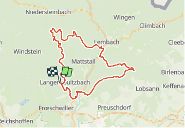
Trail Horseback riding of 35 km to be discovered at Grand Est, Bas-Rhin, Langensoultzbach. This trail is proposed by holtzv.

Description

Boucle depuis le parking du stade de football de Langensoultzbach pour prendre le déjeuner à l’ancien village Disteldorf en passant par l’abri Notre-Dame du Chêne, le château du Liebfrauenberg, le Gros Chêne, le refuge du Soultzerkopf offrant une belle vue sur Soultz-sous-Forêts, Lembach et les écuries du Flecken et la M.F. de Nonnenhardt.
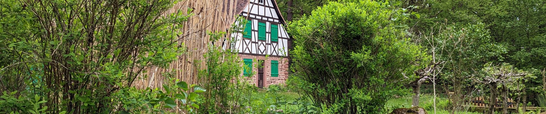
Elevation profile

Photos

Positioning

Country:
France
Region :
Grand Est
Department/Province :
Bas-Rhin
Municipality :
Langensoultzbach
Location:
Unknown
Start:(UTM)
406849 ; 5424572 (32U) N.


Close
My subscriptions