


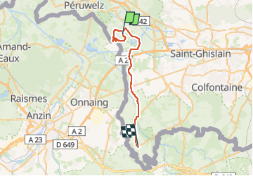
De Bernissart à Roisin

jeff2
User


9h10
Difficulty : Medium

FREE GPS app for hiking
 SityTrail
IGN / Geographical institutes
SityTrail Plus
The world is yours!
About
Trail Walking of 30 km to be discovered at Wallonia, Hainaut, Bernissart. This trail is proposed by jeff2.
Description
Départ du camping du Préau, sympa parce que bengalow au prix d'une tente de camping, puis 8,2 kms en boucle retour au départ, chemin fermée, impossible de passer, réserve Ornitho.
Passage à Quievrain, puis arrivée à Roisin en Belgique. Camping des Tourelles.
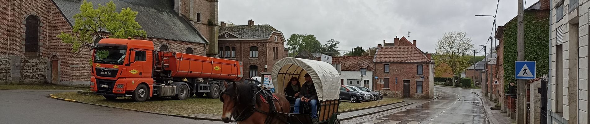
Photos


Positioning
Comments