


Colline de la Gardette-Céreste-08-05-23

Christiancordin
User
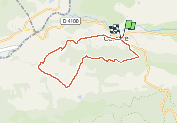

Length
8.1 km

Max alt
533 m

Uphill gradient
264 m
Km-Effort
11.6 km

Min alt
339 m

Downhill gradient
258 m
Boucle
Yes
Creation date :
2023-05-08 11:47:45.589
Updated on :
2023-05-19 17:00:38.821
2h02
Difficulty : Medium

FREE GPS app for hiking
 SityTrail
IGN / Geographical institutes
SityTrail Plus
The world is yours!
About
Trail Walking of 8.1 km to be discovered at Provence-Alpes-Côte d'Azur, Alpes-de-Haute-Provence, Céreste. This trail is proposed by Christiancordin.
Description
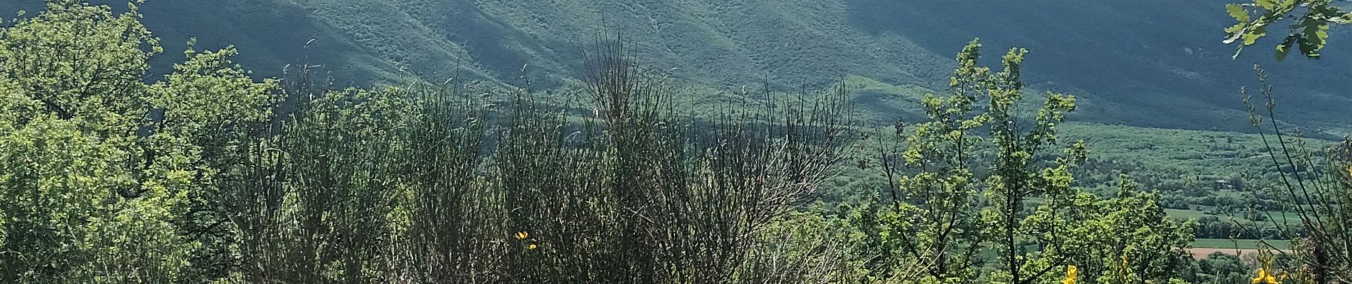
Pk face à l'église de Céreste-les Capucins-les Frances-la Gardette-Céreste.
Photos


Positioning
Country:
France
Region :
Provence-Alpes-Côte d'Azur
Department/Province :
Alpes-de-Haute-Provence
Municipality :
Céreste
Location:
Unknown
Start:(Dec)
Start:(UTM)
708335 ; 4859205 (31T) N.
Comments