Trail Running Unknown - RAID LAOS 2014 Étape 3 - Photo
 J-Mi
J-Mi

User

© OpenStreetMap contributors
Length
Length
6.1 km
Max alt
Max alt
954 m
Uphill gradient
Uphill gradient
633 m
Km-Effort
Km-Effort  
12.6 km
Min alt
Min alt
340 m
Downhill gradient
Downhill gradient
65 m
Boucle
Boucle
No
Creation date :
2014-12-10 00:00:00.0
Updated on :
2014-12-10 00:00:00.0

(0 Reviews)

Running
Running
1h02
Difficulty : Difficult

Scan this QR Code to open this trail in the SityTrail application

FREE GPS app for hiking

Logo SityTrail SityTrail

IGN / Geographical institutes

Download SityTrail from the App Store Download SityTrail from Google Play

Logo SityTrail SityTrail World

The world is yours!

Download SityTrail from the App Store Download SityTrail from Google Play Download SityTrail on Huawei AppGallery

About

Trail Running of 6.1 km to be discovered at Luang Prabang, Nam Bak District. This trail is proposed by J-Mi.

Description

Arrivée au village Mong 6km 650 D

Elevation profile

Positioning

Country:
Lao People's Democratic Republic
Region :
Luang Prabang
Department/Province :
Nam Bak District
Municipality :
Unknown
Location:
Unknown
Start:(UTM)
246880 ; 2280681 (48Q) N.

Trails nearby

Trail Walking  - Laos - Nong Kiaw : viewpoint - Photo
Walking
RogerFELIX59

Walking

Very easy
, Luang Prabang, Ngoy District, Lao People's Democratic Republic
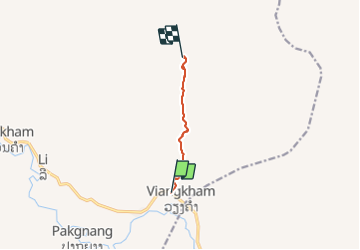
4.7 km | 10.7 km-effort
3h 12min
No
Trail Running  - RAID LAOS 2014 Étape 4 - Photo
Running
J-Mi

Running

Difficult
, Luang Prabang, Nam Bak District, Lao People's Democratic Republic
16.5 km | 26 km-effort
2h 2min
No
Trail Running  - RAID LAOS 2014 Étape 2 - Photo
Running
J-Mi

Running

Medium
, Luang Prabang, Ngoy District, Lao People's Democratic Republic
23 km | 28 km-effort
2h 27min
No
Trail Running  - RAID LAOS 2014 Étape 1 - Photo
Running
J-Mi

Running

Medium
, Luang Prabang, Ngoy District, Lao People's Democratic Republic
24 km | 31 km-effort
2h 30min
No


Close
My subscriptions