


Le beaucet - St gens - le beaucet village et château

stef789
User GUIDE
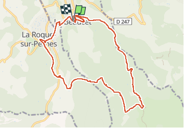

Length
13 km

Max alt
479 m

Uphill gradient
423 m
Km-Effort
18.6 km

Min alt
229 m

Downhill gradient
422 m
Boucle
Yes
Creation date :
2023-05-10 11:32:55.717
Updated on :
2023-05-10 16:39:12.294
5h05
Difficulty : Easy

FREE GPS app for hiking
 SityTrail
IGN / Geographical institutes
SityTrail Plus
The world is yours!
About
Trail Walking of 13 km to be discovered at Provence-Alpes-Côte d'Azur, Vaucluse, Le Beaucet. This trail is proposed by stef789.
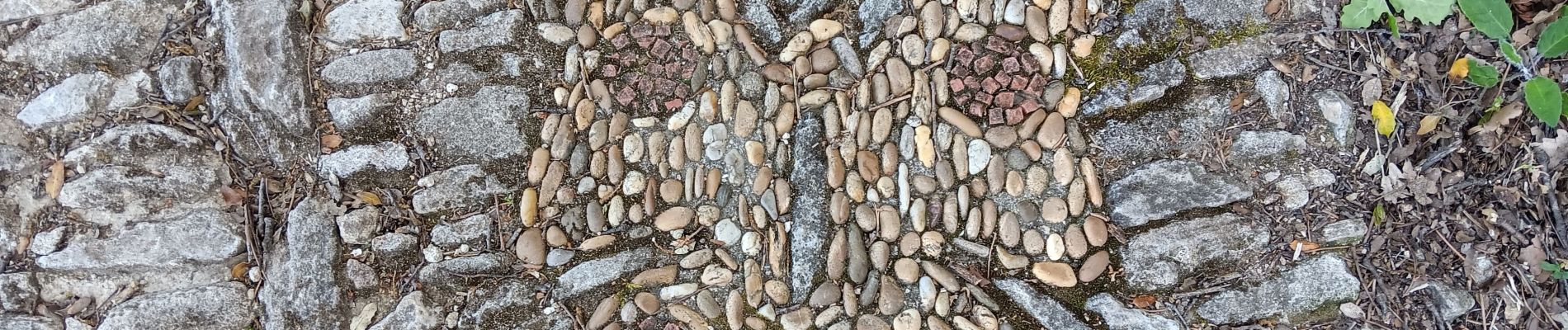
Photos


38 photos in total. Please click on a photo to see them all in the gallery.
Positioning
Country:
France
Region :
Provence-Alpes-Côte d'Azur
Department/Province :
Vaucluse
Municipality :
Le Beaucet
Location:
Unknown
Start:(Dec)
Start:(UTM)
669944 ; 4872185 (31T) N.
Comments