


huhnelmuhle

etak
User
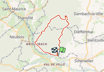

Length
14 km

Max alt
656 m

Uphill gradient
533 m
Km-Effort
21 km

Min alt
201 m

Downhill gradient
534 m
Boucle
Yes
Creation date :
2023-05-11 07:59:24.267
Updated on :
2023-05-11 13:28:03.869
4h41
Difficulty : Very difficult

FREE GPS app for hiking
 SityTrail
IGN / Geographical institutes
SityTrail Plus
The world is yours!
About
Trail Walking of 14 km to be discovered at Grand Est, Bas-Rhin, Scherwiller. This trail is proposed by etak.
Positioning
Country:
France
Region :
Grand Est
Department/Province :
Bas-Rhin
Municipality :
Scherwiller
Location:
Unknown
Start:(Dec)
Start:(UTM)
380530 ; 5349762 (32U) N.
Comments