


110523 Grenoble Mont Jallat M'as Caché SMV

mzonzon05
User
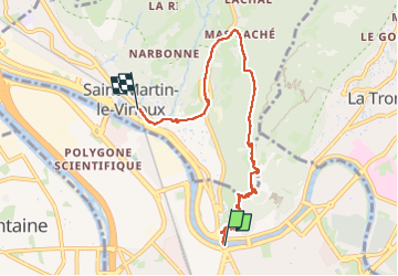

Length
6.6 km

Max alt
666 m

Uphill gradient
456 m
Km-Effort
12.6 km

Min alt
209 m

Downhill gradient
447 m
Boucle
No
Creation date :
2023-05-11 12:59:57.897
Updated on :
2023-05-11 15:17:28.869
2h17
Difficulty : Difficult

FREE GPS app for hiking
 SityTrail
IGN / Geographical institutes
SityTrail Plus
The world is yours!
About
Trail Walking of 6.6 km to be discovered at Auvergne-Rhône-Alpes, Isère, Grenoble. This trail is proposed by mzonzon05.
Description
Une façon sympathique de rallier à pied Grenoble à Saint Martin le Vinoux. Et guère plus longue qu part la route ! Enfin en kilomètres !
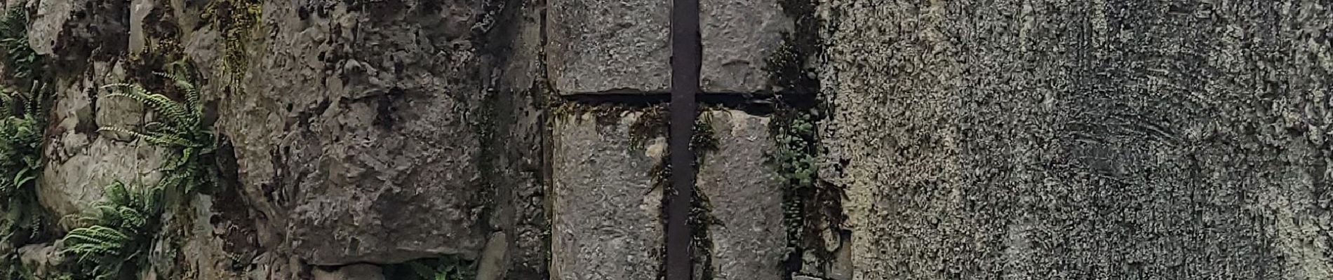
Photos

Positioning
Country:
France
Region :
Auvergne-Rhône-Alpes
Department/Province :
Isère
Municipality :
Grenoble
Location:
Unknown
Start:(Dec)
Start:(UTM)
713674 ; 5007972 (31T) N.
Comments