


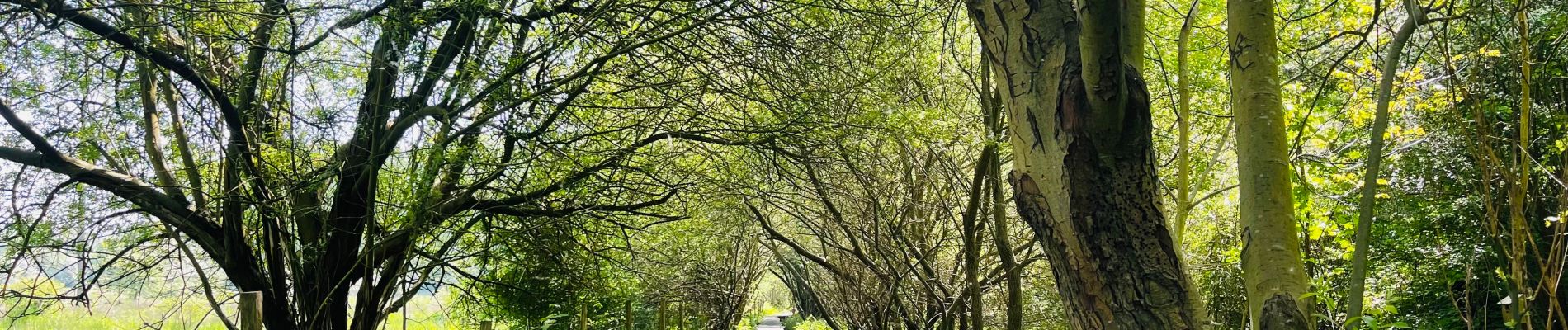
De Kevie : la promenade du Geer à Tongres

Benjamin27
User GUIDE


1h43
Difficulty : Medium

FREE GPS app for hiking
 SityTrail
IGN / Geographical institutes
SityTrail Plus
The world is yours!
About
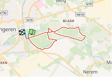
Trail Walking of 7 km to be discovered at Flanders, Limburg, Tongeren. This trail is proposed by Benjamin27.
Description
Se déroulant dans la réserve naturelle De Kevie à Tongres, cette promenade vous emmènera, a travers bois, le long du Geer et même du vieux Geer.
👣 Distance : 7km - balisage flamme bleue.
🗺️ Carte / Fichier GPX en bio.
📍Départ : Oude Blaarstraat 5 à Tongres.
🚂 Gare de Tongres 🚶17min.
Photos

Positioning
Comments