


Boucle en pointe de Saint Gildas

choubaka77
User
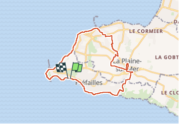

Length
16 km

Max alt
36 m

Uphill gradient
98 m
Km-Effort
17.3 km

Min alt
-1 m

Downhill gradient
98 m
Boucle
Yes
Creation date :
2023-05-13 08:35:35.0
Updated on :
2023-05-13 14:40:51.062
4h10
Difficulty : Very easy

FREE GPS app for hiking
 SityTrail
IGN / Geographical institutes
SityTrail Plus
The world is yours!
About
Trail Walking of 16 km to be discovered at Pays de la Loire, Loire-Atlantique, Préfailles. This trail is proposed by choubaka77.
Description
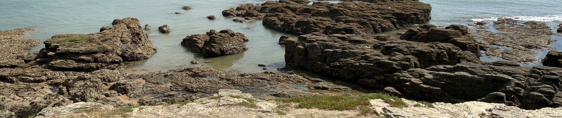
Très belle balade qui fait découvrir toutes les facettes de la partie sud de l’estuaire de la Loire au niveau de la pointe Saint Gildas.
Photos


Positioning
Country:
France
Region :
Pays de la Loire
Department/Province :
Loire-Atlantique
Municipality :
Préfailles
Location:
Unknown
Start:(Dec)
Start:(UTM)
558324 ; 5220078 (30T) N.
Comments