


140523 A/R Mont Rachais

mzonzon05
User
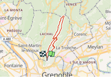

Length
12.6 km

Max alt
1043 m

Uphill gradient
747 m
Km-Effort
23 km

Min alt
453 m

Downhill gradient
745 m
Boucle
Yes
Creation date :
2023-05-14 07:39:05.991
Updated on :
2023-05-14 11:48:20.868
4h08
Difficulty : Very difficult

FREE GPS app for hiking
 SityTrail
IGN / Geographical institutes
SityTrail Plus
The world is yours!
About
Trail Walking of 12.6 km to be discovered at Auvergne-Rhône-Alpes, Isère, Grenoble. This trail is proposed by mzonzon05.
Description
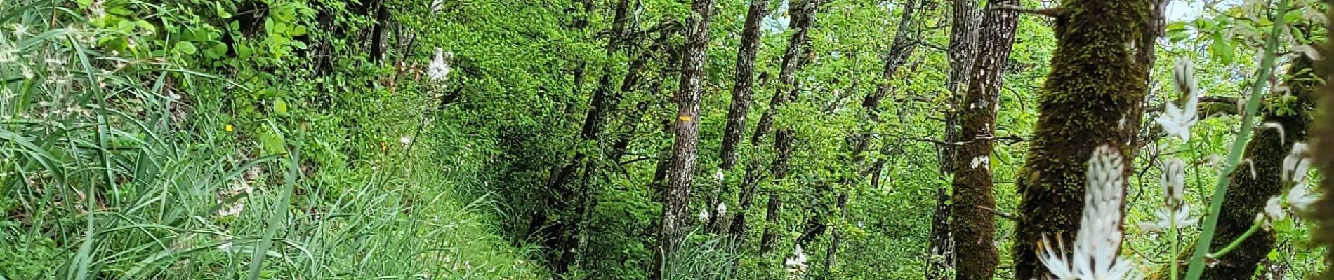
Boucle très sympa , notamment le retour. Du muguet, des lys... et bcp de boue (temps pluvieux) !
Photos


Positioning
Country:
France
Region :
Auvergne-Rhône-Alpes
Department/Province :
Isère
Municipality :
Grenoble
Location:
Unknown
Start:(Dec)
Start:(UTM)
714019 ; 5008638 (31T) N.
Comments