


St Pierre le Chatel Tournebise

Papou63patrick
User
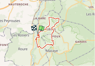

Length
13.2 km

Max alt
789 m

Uphill gradient
263 m
Km-Effort
16.8 km

Min alt
669 m

Downhill gradient
266 m
Boucle
Yes
Creation date :
2023-05-14 07:34:37.364
Updated on :
2023-05-14 11:48:42.416
3h03
Difficulty : Medium

FREE GPS app for hiking
 SityTrail
IGN / Geographical institutes
SityTrail Plus
The world is yours!
About
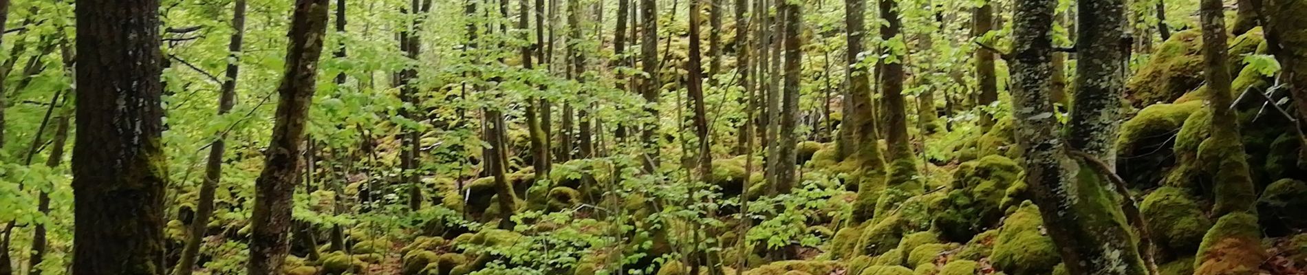
Trail Walking of 13.2 km to be discovered at Auvergne-Rhône-Alpes, Puy-de-Dôme, Saint-Pierre-le-Chastel. This trail is proposed by Papou63patrick.
Photos


Positioning
Country:
France
Region :
Auvergne-Rhône-Alpes
Department/Province :
Puy-de-Dôme
Municipality :
Saint-Pierre-le-Chastel
Location:
Unknown
Start:(Dec)
Start:(UTM)
487639 ; 5071970 (31T) N.
Comments