


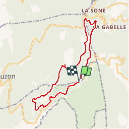

22 km | 31 km-effort


User


FREE GPS app for hiking
 SityTrail
IGN / Geographical institutes
SityTrail World
The world is yours!
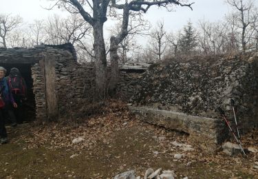
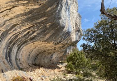
Trail Walking of 16.1 km to be discovered at Provence-Alpes-Côte d'Azur, Vaucluse, Blauvac. This trail is proposed by Lisa84.
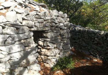
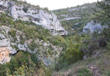
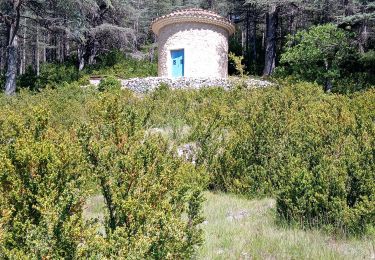
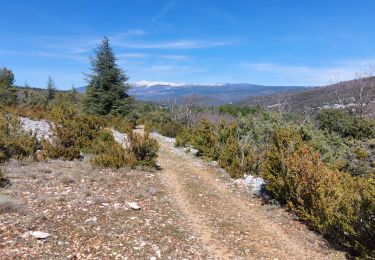
Jolie randonnée entre ville sur Auzon et Monnieux. Surplomb sur les gorges de la Nesque, paysages magnifiques.
Walking
Walking
Walking
Walking
Walking
Walking
Walking
Walking
Walking