


Boucle adaptée forêt de la Comté

michelelfn
User
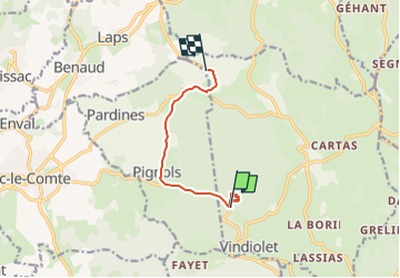

Length
7 km

Max alt
654 m

Uphill gradient
107 m
Km-Effort
8.4 km

Min alt
586 m

Downhill gradient
105 m
Boucle
No
Creation date :
2023-05-18 14:54:20.215
Updated on :
2023-05-18 16:45:54.417
1h51
Difficulty : Medium

FREE GPS app for hiking
 SityTrail
IGN / Geographical institutes
SityTrail Plus
The world is yours!
About
Trail Walking of 7 km to be discovered at Auvergne-Rhône-Alpes, Puy-de-Dôme, Sallèdes. This trail is proposed by michelelfn.
Positioning
Country:
France
Region :
Auvergne-Rhône-Alpes
Department/Province :
Puy-de-Dôme
Municipality :
Sallèdes
Location:
Unknown
Start:(Dec)
Start:(UTM)
523845 ; 5053774 (31T) N.
Comments