


Reconnaissance Puy Mary depuis La Gravière

Chabard
User
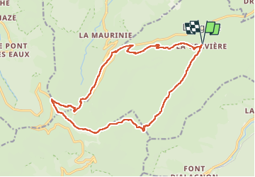

Length
18.9 km

Max alt
1769 m

Uphill gradient
845 m
Km-Effort
30 km

Min alt
1074 m

Downhill gradient
845 m
Boucle
Yes
Creation date :
2023-05-19 07:17:15.0
Updated on :
2023-05-19 12:58:48.935
5h40
Difficulty : Very difficult

FREE GPS app for hiking
 SityTrail
IGN / Geographical institutes
SityTrail Plus
The world is yours!
About
Trail Walking of 18.9 km to be discovered at Auvergne-Rhône-Alpes, Cantal, Lavigerie. This trail is proposed by Chabard.
Description
Reconnaissance Puy Mary depuis La Gravière
Positioning
Country:
France
Region :
Auvergne-Rhône-Alpes
Department/Province :
Cantal
Municipality :
Lavigerie
Location:
Unknown
Start:(Dec)
Start:(UTM)
479972 ; 4997749 (31T) N.
Comments