


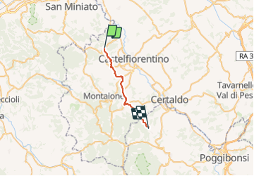
CR_Francigena_DB_38_Castelfiorentino_San-Gimignano_20230520

patrickdanilo
User


6h03
Difficulty : Medium

FREE GPS app for hiking
 SityTrail
IGN / Geographical institutes
SityTrail Plus
The world is yours!
About
Trail Walking of 19.4 km to be discovered at Tuscany, Metropolitan City of Florence, Castelfiorentino. This trail is proposed by patrickdanilo.
Description
Randonnée Marche de 19,4 km à découvrir à Toscane, Firenze, Castelfiorentino. Cette randonnée est proposée par patrickdanilo.
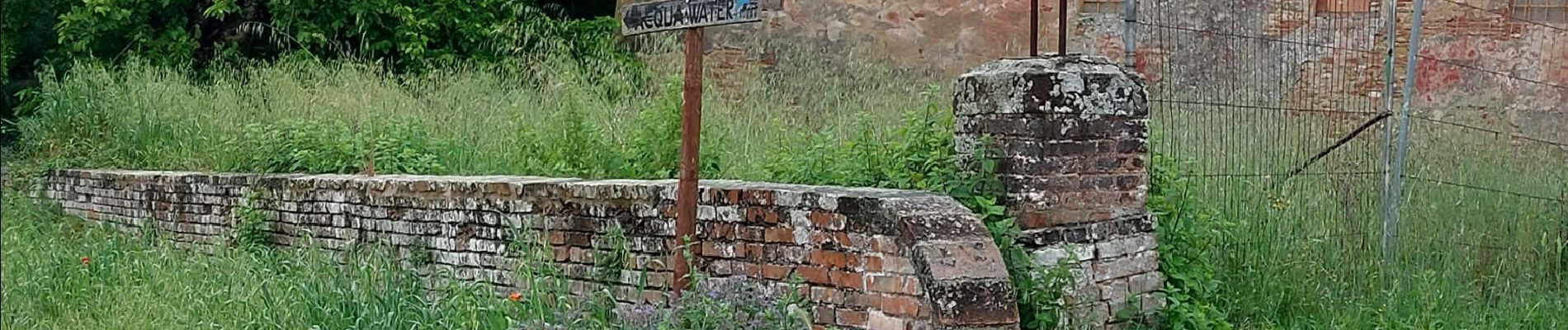
Photos


22 photos in total. Please click on a photo to see them all in the gallery.
Positioning
Comments