


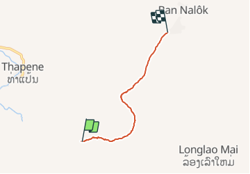

143 km | 176 km-effort

User


FREE GPS app for hiking
 SityTrail
IGN / Geographical institutes
SityTrail World
The world is yours!
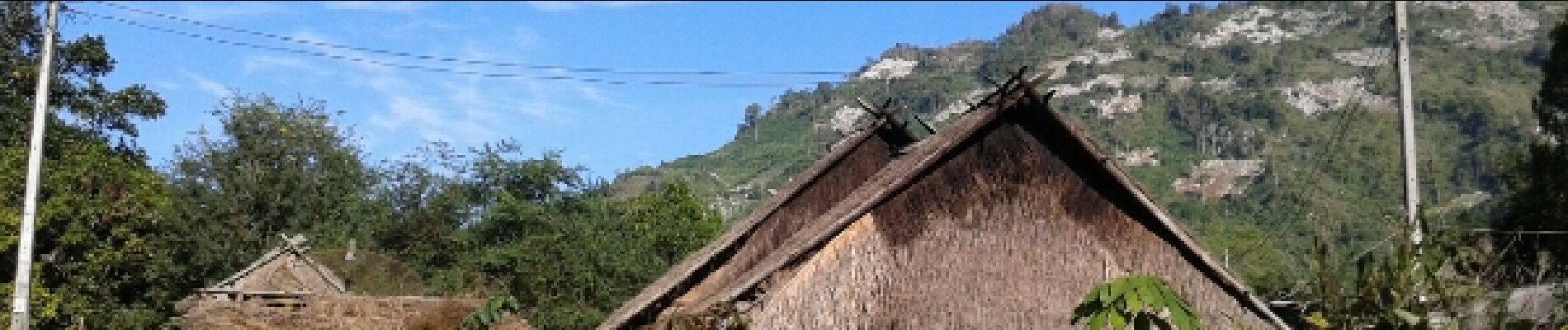
Trail Walking of 5 km to be discovered at Luang Prabang, Luang Prabang District. This trail is proposed by J-Mi.
randonnée aller et retour trace retour de la porte Mong au village


Motor

Trail