


Tour de Gorron

Axelloceane
User


Length
14 km

Max alt
193 m

Uphill gradient
162 m
Km-Effort
16.2 km

Min alt
147 m

Downhill gradient
157 m
Boucle
No
Creation date :
2023-05-21 13:35:24.954
Updated on :
2023-05-21 16:33:06.89
2h48
Difficulty : Easy

FREE GPS app for hiking
 SityTrail
IGN / Geographical institutes
SityTrail Plus
The world is yours!
About
Trail Walking of 14 km to be discovered at Pays de la Loire, Mayenne, Gorron. This trail is proposed by Axelloceane.
Description
suivre le balisage jaune et noir.Circuit très agréable avec une partie de sentier en suivant entre autre la Comont et différents ruisseaux.
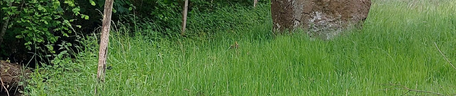
Photos


Positioning
Country:
France
Region :
Pays de la Loire
Department/Province :
Mayenne
Municipality :
Gorron
Location:
Unknown
Start:(Dec)
Start:(UTM)
662146 ; 5363809 (30U) N.
Comments