


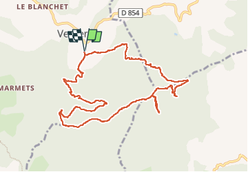
Le sommet du Montsérieux (Venterol 04)

Clo0413
User

Length
11.6 km

Max alt
1589 m

Uphill gradient
559 m
Km-Effort
19.1 km

Min alt
1075 m

Downhill gradient
559 m
Boucle
Yes
Creation date :
2023-05-22 06:50:41.049
Updated on :
2023-05-22 17:30:34.392
3h51
Difficulty : Medium

FREE GPS app for hiking
 SityTrail
IGN / Geographical institutes
SityTrail Plus
The world is yours!
About
Trail Walking of 11.6 km to be discovered at Provence-Alpes-Côte d'Azur, Alpes-de-Haute-Provence, Venterol. This trail is proposed by Clo0413.
Positioning
Country:
France
Region :
Provence-Alpes-Côte d'Azur
Department/Province :
Alpes-de-Haute-Provence
Municipality :
Venterol
Location:
Unknown
Start:(Dec)
Start:(UTM)
269345 ; 4924926 (32T) N.
Comments