


gr 70 stephenson sagne rousse-> cheylard l'évêque

ninia
User
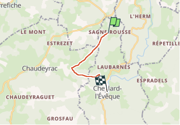

Length
5.9 km

Max alt
1235 m

Uphill gradient
85 m
Km-Effort
7.1 km

Min alt
1117 m

Downhill gradient
131 m
Boucle
No
Creation date :
2023-05-22 08:36:00.918
Updated on :
2023-05-22 18:17:07.552
2h20
Difficulty : Easy

FREE GPS app for hiking
 SityTrail
IGN / Geographical institutes
SityTrail Plus
The world is yours!
About
Trail Walking of 5.9 km to be discovered at Occitania, Lozère, Cheylard-l'Évêque. This trail is proposed by ninia.
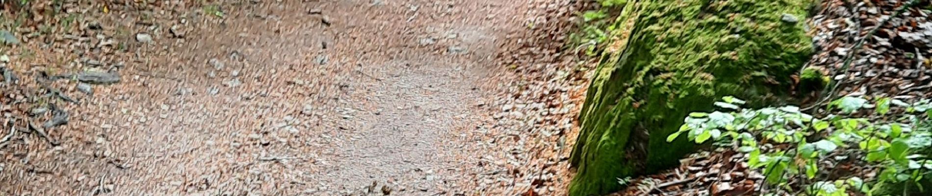
Photos


Positioning
Country:
France
Region :
Occitania
Department/Province :
Lozère
Municipality :
Cheylard-l'Évêque
Location:
Unknown
Start:(Dec)
Start:(UTM)
563719 ; 4947342 (31T) N.
Comments