


randonnée Bucey

FPortier
User
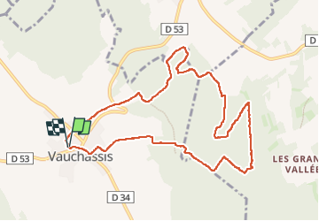

Length
10.2 km

Max alt
274 m

Uphill gradient
205 m
Km-Effort
13 km

Min alt
182 m

Downhill gradient
206 m
Boucle
Yes
Creation date :
2023-05-23 06:53:02.001
Updated on :
2023-05-23 12:09:03.909
2h50
Difficulty : Difficult

FREE GPS app for hiking
 SityTrail
IGN / Geographical institutes
SityTrail Plus
The world is yours!
About
Trail Walking of 10.2 km to be discovered at Grand Est, Aube, Vauchassis. This trail is proposed by FPortier.
Description
Randonnée club buvette 23 mai 2023
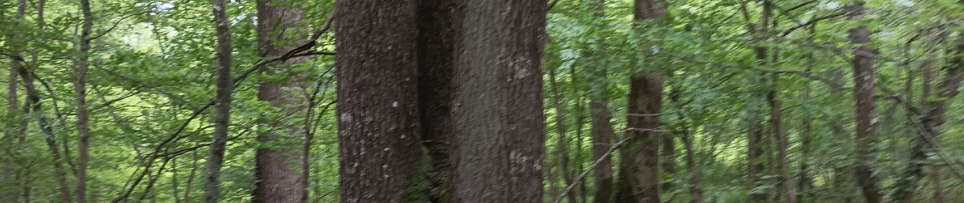
Photos


Positioning
Country:
France
Region :
Grand Est
Department/Province :
Aube
Municipality :
Vauchassis
Location:
Unknown
Start:(Dec)
Start:(UTM)
568483 ; 5341439 (31U) N.
Comments