


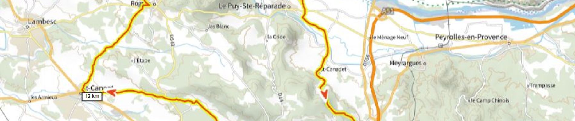
Puyricard St Christope D+720m

ericberlin
User

Length
53 km

Max alt
418 m

Uphill gradient
716 m
Km-Effort
62 km

Min alt
162 m

Downhill gradient
720 m
Boucle
Yes
Creation date :
2023-05-23 15:39:58.324
Updated on :
2023-05-23 15:43:14.694
3h46
Difficulty : Very difficult

FREE GPS app for hiking
 SityTrail
IGN / Geographical institutes
SityTrail Plus
The world is yours!
About
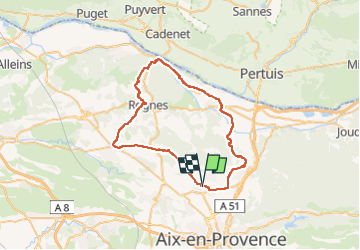
Trail Road bike of 53 km to be discovered at Provence-Alpes-Côte d'Azur, Bouches-du-Rhône, Aix-en-Provence. This trail is proposed by ericberlin.
Photos

Positioning
Country:
France
Region :
Provence-Alpes-Côte d'Azur
Department/Province :
Bouches-du-Rhône
Municipality :
Aix-en-Provence
Location:
Unknown
Start:(Dec)
Start:(UTM)
695464 ; 4828357 (31T) N.
Comments