


Marigny 11km 20230524

cmike39
User
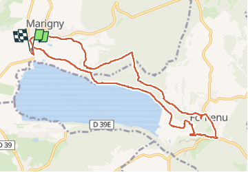

Length
11.1 km

Max alt
609 m

Uphill gradient
265 m
Km-Effort
14.7 km

Min alt
488 m

Downhill gradient
266 m
Boucle
Yes
Creation date :
2023-05-24 11:48:53.365
Updated on :
2023-05-24 15:48:41.507
2h46
Difficulty : Difficult

FREE GPS app for hiking
 SityTrail
IGN / Geographical institutes
SityTrail Plus
The world is yours!
About
Trail Walking of 11.1 km to be discovered at Bourgogne-Franche-Comté, Jura, Marigny. This trail is proposed by cmike39.
Positioning
Country:
France
Region :
Bourgogne-Franche-Comté
Department/Province :
Jura
Municipality :
Marigny
Location:
Unknown
Start:(Dec)
Start:(UTM)
712585 ; 5173208 (31T) N.
Comments