


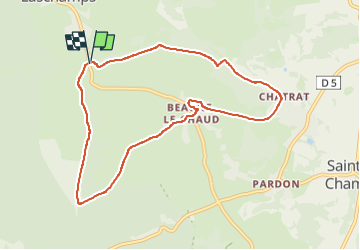


13.2 km | 18.6 km-effort

User GUIDE


FREE GPS app for hiking
 SityTrail
IGN / Geographical institutes
SityTrail World
The world is yours!
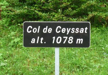
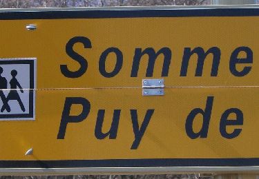
Trail Walking of 8.8 km to be discovered at Auvergne-Rhône-Alpes, Puy-de-Dôme, Saint-Genès-Champanelle. This trail is proposed by jagarnier.
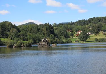
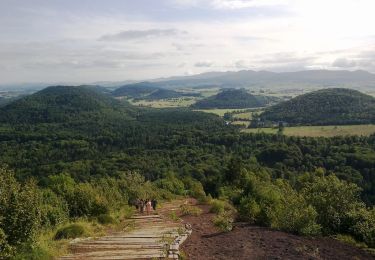
Randonnée facile aux portes de Clermont-Ferrand.
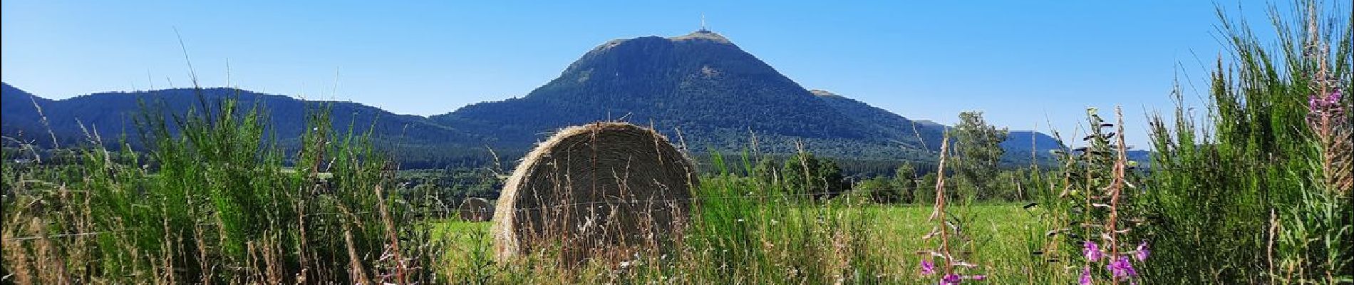
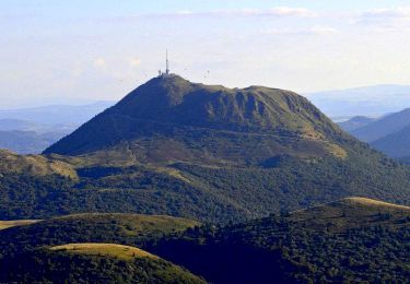
De très beaux panoramas entre la chaîne des Puys, le Sancy et le village de Beaune le Chaud avec son église sur un promontoire. Cet édifice veille sur les villageois et recèle quelques trésors d'histoires à raconter. Il en est de même des vielles pierres des maisons alentours.


Walking
Walking

Walking
On foot
On foot
On foot
On foot
On foot
On foot