


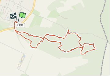


16.8 km | 19.2 km-effort

User


FREE GPS app for hiking
 SityTrail
IGN / Geographical institutes
SityTrail World
The world is yours!
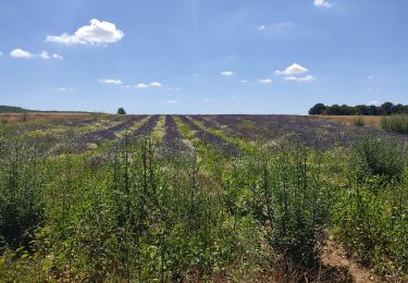
Trail Walking of 5.7 km to be discovered at Ile-de-France, Essonne, Ballancourt-sur-Essonne. This trail is proposed by guydu41.
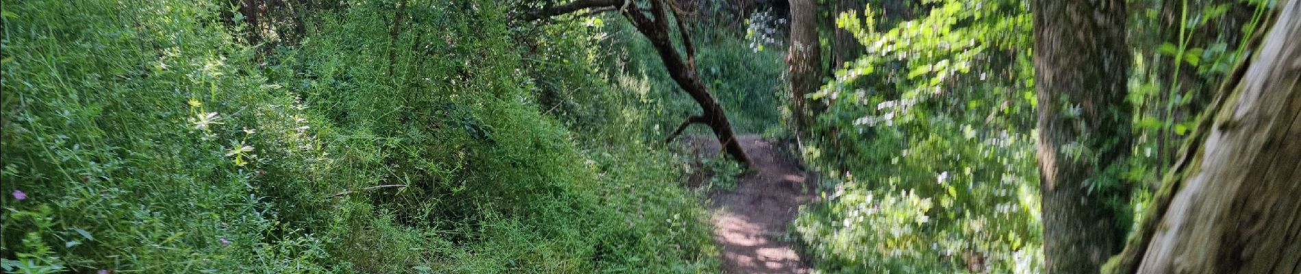
Belle petite randonnée sur des sentiers tortueux dans les bois à l'Est de Ballancourt.
Découverte d'anciennes carrières de grès.
Note : En faisant très attention, il est possible d'explorer deux cavités profondes dont une avec deux niveaux.


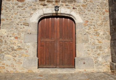
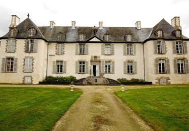
23 photos in total. Please click on a photo to see them all in the gallery.
Walking
On foot
On foot

Nordic walking
Nordic walking

Walking

Mountain bike
Walking
Walking