Sentier de la résistance en boucle

katiab
User
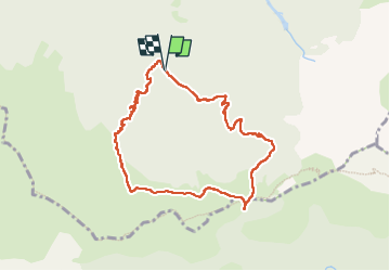

Length
8.9 km

Max alt
1590 m

Uphill gradient
575 m
Km-Effort
16.6 km

Min alt
1024 m

Downhill gradient
578 m
Boucle
Yes
Creation date :
2023-05-23 08:40:33.308
Updated on :
2023-05-25 11:09:07.912
4h09
Difficulty : Medium

FREE GPS app for hiking
 SityTrail
IGN / Geographical institutes
SityTrail Plus
The world is yours!
About
Trail Walking of 8.9 km to be discovered at Auvergne-Rhône-Alpes, Isère, Tréminis. This trail is proposed by katiab.
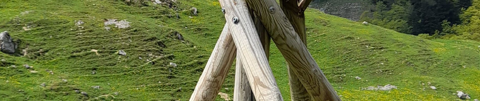
Photos


Positioning
Country:
France
Region :
Auvergne-Rhône-Alpes
Department/Province :
Isère
Municipality :
Tréminis
Location:
Unknown
Start:(Dec)
Start:(UTM)
719177 ; 4955011 (31T) N.
Comments