
Boucle depuis Pre Richard..

tyax93
User

Length
10 km

Max alt
1900 m

Uphill gradient
712 m

Km-Effort
19.6 km

Min alt
1224 m

Downhill gradient
720 m
Boucle
Yes
Creation date :
2023-05-20 08:42:59.405
Updated on :
2023-05-25 12:32:41.572
4h46
Difficulty : Medium

FREE GPS app for hiking
About
Trail Walking of 10 km to be discovered at Auvergne-Rhône-Alpes, Upper Savoy, Bernex. This trail is proposed by tyax93.
Description
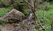
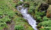
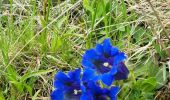
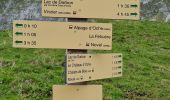
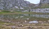
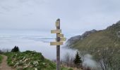
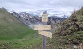
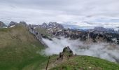
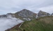
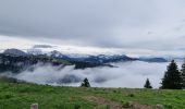
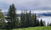
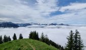
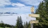
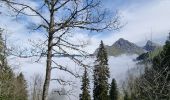
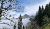
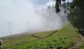
Belle boucle malgré le temps un peu couvert en ce 20 mai...
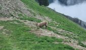
Rencontre avec des bouquetins...
Positioning
Country:
France
Region :
Auvergne-Rhône-Alpes
Department/Province :
Upper Savoy
Municipality :
Bernex
Location:
Unknown
Start:(Dec)
Start:(UTM)
322841 ; 5135245 (32T) N.
Comments
Trails nearby
Dent d'Oche - coucher de soleil


Walking
Medium
(4)
Bernex,
Auvergne-Rhône-Alpes,
Upper Savoy,
France

9.2 km | 22 km-effort
3h 13min
Yes
Pic des Mémises-Col de Pertuis-Le Hameau de L’Ain retour Parking


Walking
Difficult
Thollon-les-Mémises,
Auvergne-Rhône-Alpes,
Upper Savoy,
France

11.4 km | 16.2 km-effort
2h 32min
No

Tour du Mont Chauffé


Walking
Medium
Vacheresse,
Auvergne-Rhône-Alpes,
Upper Savoy,
France

12.7 km | 23 km-effort
5h 12min
Yes
Ubine, col d'Ubine, col des Mosses, chalets de Bise, lac de Fontaine


Walking
Medium
Vacheresse,
Auvergne-Rhône-Alpes,
Upper Savoy,
France

8.6 km | 15.6 km-effort
6h 13min
No
Tour du Mont César


Walking
Medium
Bernex,
Auvergne-Rhône-Alpes,
Upper Savoy,
France

4.4 km | 9.4 km-effort
1h 44min
Yes
DENT D OCHE PAR PIC BOLLE


Nordic walking
Difficult
Bernex,
Auvergne-Rhône-Alpes,
Upper Savoy,
France

16 km | 34 km-effort
5h 37min
Yes

lac noir grand tour


Walking
Very easy
(2)
Saint-Paul-en-Chablais,
Auvergne-Rhône-Alpes,
Upper Savoy,
France

6.4 km | 8 km-effort
1h 45min
Yes
Pic des mémises . colombier par Creusaz


Walking
Medium
Bernex,
Auvergne-Rhône-Alpes,
Upper Savoy,
France

8 km | 15.1 km-effort
4h 7min
No
Ubine -> chalets Autigny AR


Walking
Easy
Vacheresse,
Auvergne-Rhône-Alpes,
Upper Savoy,
France

5.8 km | 8.3 km-effort
1h 55min
Yes


 SityTrail


