


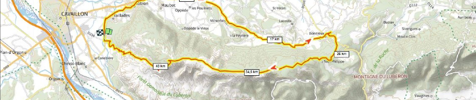
la forêt des cêdres D+930m par Ménerbes

ericberlin
User

Length
50 km

Max alt
726 m

Uphill gradient
932 m
Km-Effort
62 km

Min alt
91 m

Downhill gradient
930 m
Boucle
Yes
Creation date :
2023-05-25 16:47:50.306
Updated on :
2023-08-01 15:07:06.869
4h17
Difficulty : Very difficult

FREE GPS app for hiking
 SityTrail
IGN / Geographical institutes
SityTrail Plus
The world is yours!
About
Trail Mountain bike of 50 km to be discovered at Provence-Alpes-Côte d'Azur, Vaucluse, Cavaillon. This trail is proposed by ericberlin.
Description
redescente en mauvais état, VTT obligatoire.
Photos

Positioning
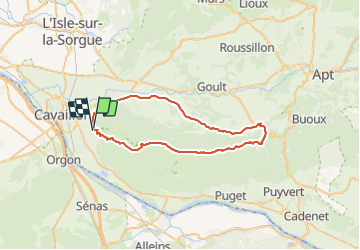
Country:
France
Region :
Provence-Alpes-Côte d'Azur
Department/Province :
Vaucluse
Municipality :
Cavaillon
Location:
Unknown
Start:(Dec)
Start:(UTM)
667416 ; 4854024 (31T) N.
Comments