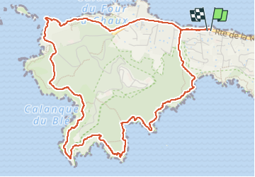
Presqu'île Giens Ouest-26-05-23

Christiancordin
User


2h21
Difficulty : Medium

FREE GPS app for hiking
 SityTrail
IGN / Geographical institutes
SityTrail Plus
The world is yours!
About
Trail Walking of 7.2 km to be discovered at Provence-Alpes-Côte d'Azur, Var, Hyères. This trail is proposed by Christiancordin.
Description
Se garer le long de la route avant le port de la Madrague-plage des Darboussières-pointe de la Galère-pointe du Pignet-plage d'Escampo-Barriou-pointe Escampo-Barriou-pointe des Salis-calanque du blé-écueil des Anguillons-iles Redonne, Longue et de la Redonne-Port de la Madrague.
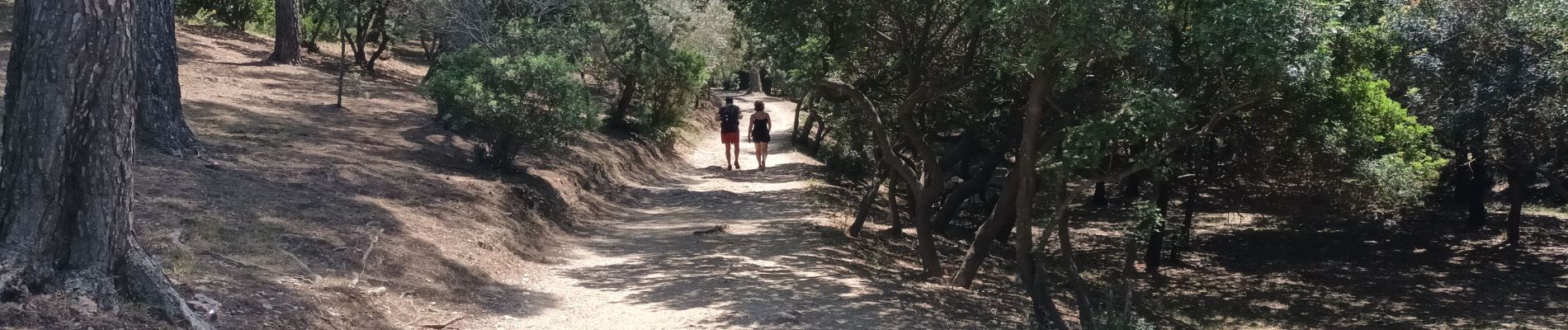
Photos


Positioning
Comments