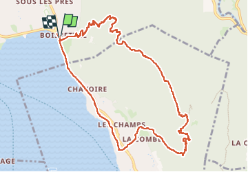
Trail Walking Annecy - 260523 Monr Veyrier - Photo
© OpenStreetMap contributors
Length
Length
12.6 km
Max alt
Max alt
1293 m
Uphill gradient
Uphill gradient
924 m
Km-Effort
Km-Effort  
25 km
Min alt
Min alt
447 m
Downhill gradient
Downhill gradient
924 m
Boucle
Boucle
Yes
Creation date :
2023-05-26 11:36:29.041
Updated on :
2023-05-26 16:01:07.2

(0 Reviews)

Walking
Walking
4h24
Difficulty : Difficult

Scan this QR Code to open this trail in the SityTrail application

FREE GPS app for hiking

Logo SityTrail SityTrail

IGN / Geographical institutes

Download SityTrail from the App Store Download SityTrail from Google Play

Logo SityTrail SityTrail Plus

The world is yours!

Download SityTrail from the App Store Download SityTrail from Google Play Download SityTrail on Huawei AppGallery

About

Trail Walking of 12.6 km to be discovered at Auvergne-Rhône-Alpes, Upper Savoy, Annecy. This trail is proposed by mzonzon05.

Description

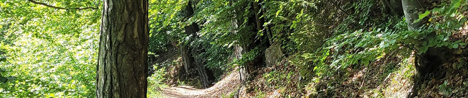
une balade pas facile car ça monte sec puis la redescende nous réconcilie avec nos pieds car elle se fait globalement sur un tapis de feuilles !  Les points de vue sont spectaculaires et le lac et les Bauges à portée de main !
Bien sûr on n'est pas tout seul et toutes les langues sont au RDV, mais tout le monde semble content d'être là.

Elevation profile

Photos

Positioning

Country:
France
Region :
Auvergne-Rhône-Alpes
Department/Province :
Upper Savoy
Municipality :
Annecy
Location:
Annecy-le-Vieux
Start:(UTM)
279724 ; 5087377 (32T) N.


Close
My subscriptions