


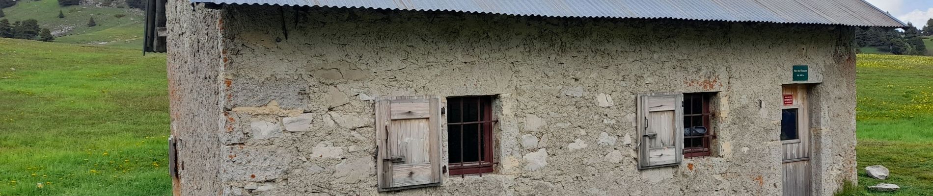
Tête Chevalière depuis Combeau

katiab
User


Length
11.9 km

Max alt
1946 m

Uphill gradient
542 m
Km-Effort
19.2 km

Min alt
1457 m

Downhill gradient
541 m
Boucle
Yes
Creation date :
2023-05-26 08:11:59.4
Updated on :
2023-05-26 18:23:15.31
4h03
Difficulty : Medium

FREE GPS app for hiking
 SityTrail
IGN / Geographical institutes
SityTrail Plus
The world is yours!
About
Trail Walking of 11.9 km to be discovered at Auvergne-Rhône-Alpes, Drôme, Châtillon-en-Diois. This trail is proposed by katiab.
Photos


Positioning
Country:
France
Region :
Auvergne-Rhône-Alpes
Department/Province :
Drôme
Municipality :
Châtillon-en-Diois
Location:
Treschenu-Creyers
Start:(Dec)
Start:(UTM)
703619 ; 4961106 (31T) N.
Comments