


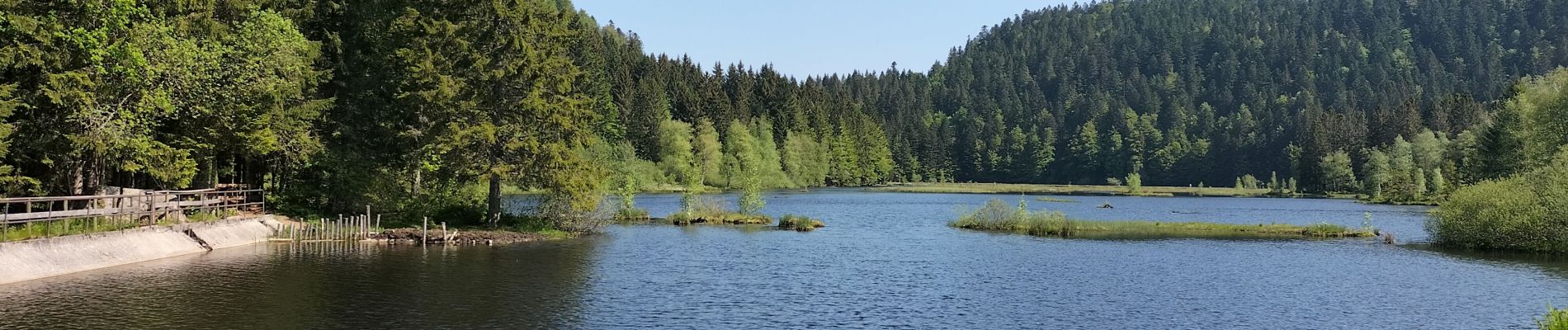
lacs et tourbières de Tenine et Lispach

reneperrin
User


Length
8.2 km

Max alt
938 m

Uphill gradient
185 m
Km-Effort
10.7 km

Min alt
817 m

Downhill gradient
185 m
Boucle
Yes
Creation date :
2023-05-27 07:51:28.674
Updated on :
2023-05-27 10:18:32.387
2h15
Difficulty : Easy

FREE GPS app for hiking
 SityTrail
IGN / Geographical institutes
SityTrail Plus
The world is yours!
About
Trail Walking of 8.2 km to be discovered at Grand Est, Vosges, La Bresse. This trail is proposed by reneperrin.
Description
boucle
Photos


Positioning
Country:
France
Region :
Grand Est
Department/Province :
Vosges
Municipality :
La Bresse
Location:
Unknown
Start:(Dec)
Start:(UTM)
345138 ; 5322101 (32U) N.
Comments